Research
|
Information
Achievements in Recent Years
Analysis and Promotion Project of Farmland Irrigation Natural Disaster Prevention and Rescue
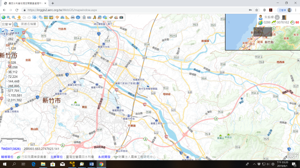
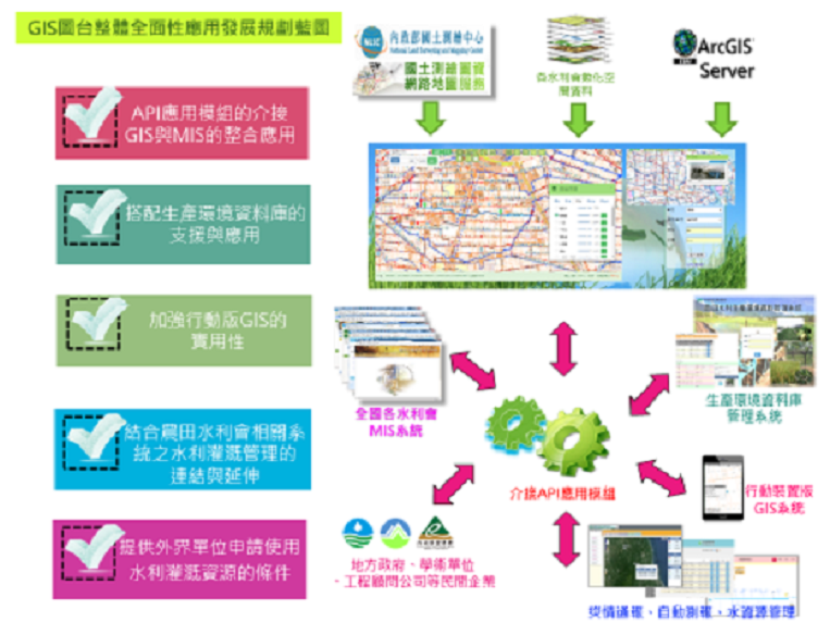
1. Use of cloud-top devices to construct common platform for irrigation management geographic map data, reducing the traditional physical hardware investment and subsequent maintenance and operation resources.
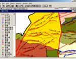
2. Completion of the integration of irrigation management geospatial database for the 17 Irrigation Associations, to become the comprehensive database of irrigation management.
3. Provide spatial information services platform for the IA, to provide map data services to enhance the conveniency and consistency of data content , data integration in the future.
Expansion and Integration of Agricultural Irrigation Geographic Information System and Production Environment Database
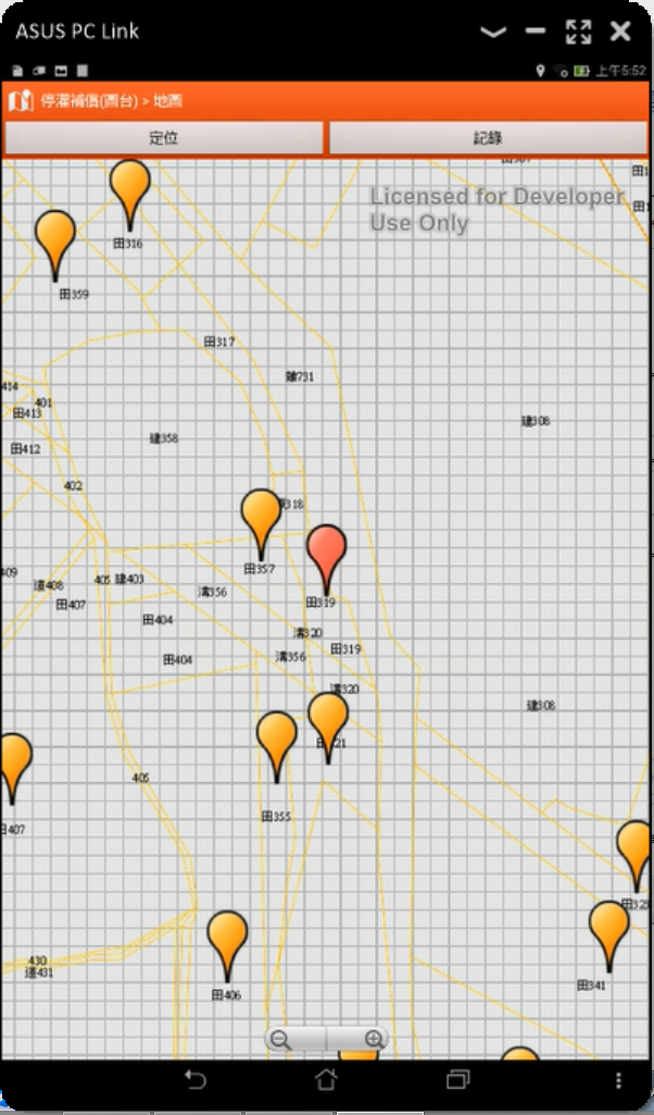
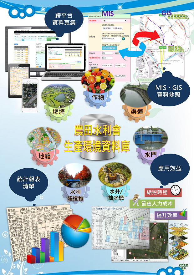
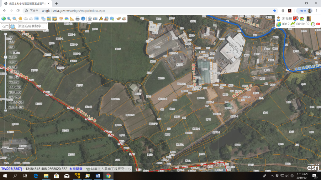
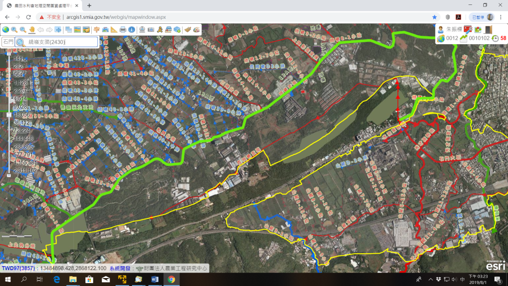
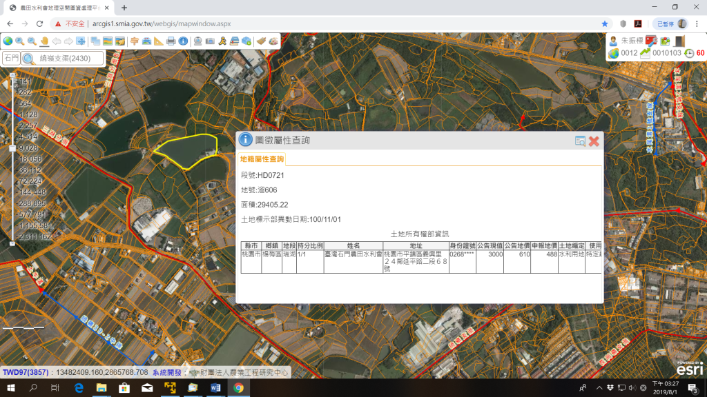
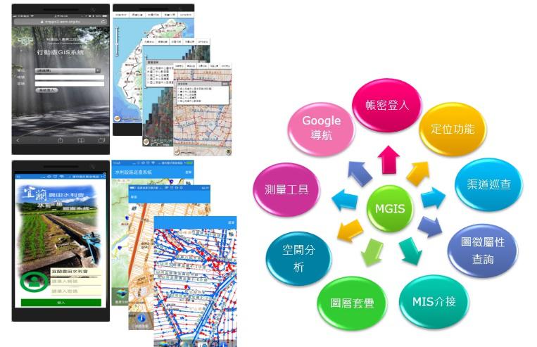
Coaching each IA to establish a spatial database through standardized procedures. Development web-GIS、mobile-GIS、desktop-GIS. Solving insufficient agricultural land information. Provide government to formulate policies.
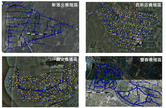
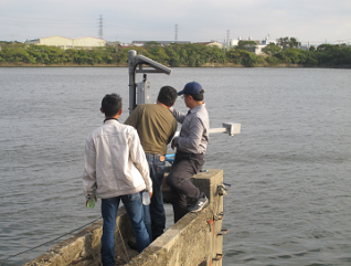
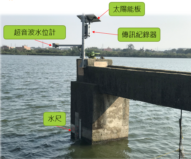
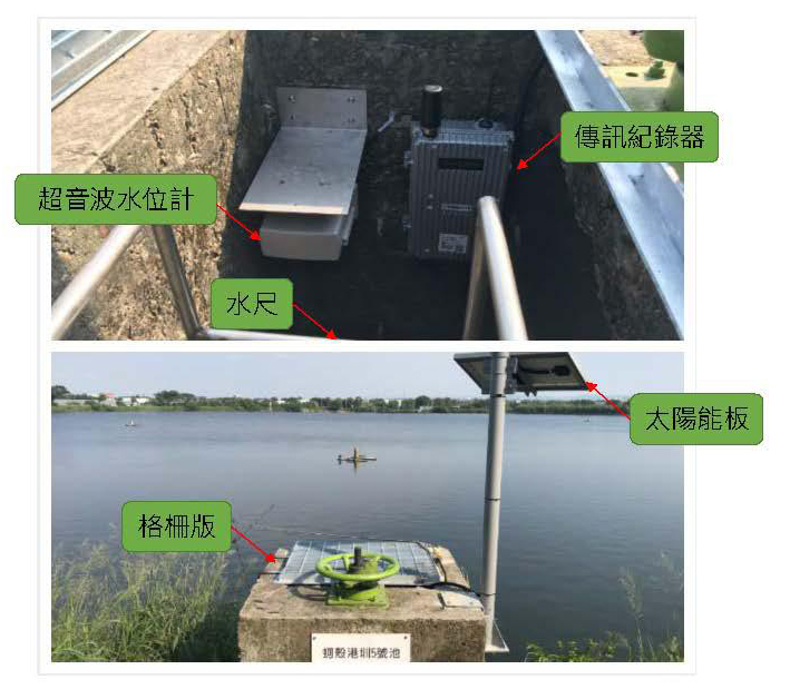
Planning and Construction of Real-Time Water Information Collection and Management System in Aquaculture Production Area
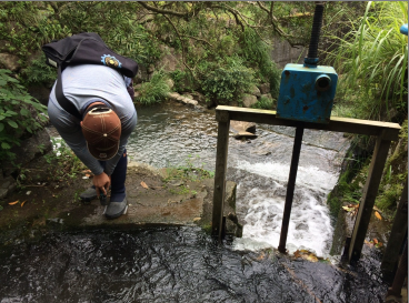
Construction of water level monitoring station in aquaculture area, collecting real time water level information, upload to the query system. Construction of water level forecasting model, provide water level warning information.
- Real-time hydrological monitoring station
- Assess the need for real-time water monitoring in aquaculture areas
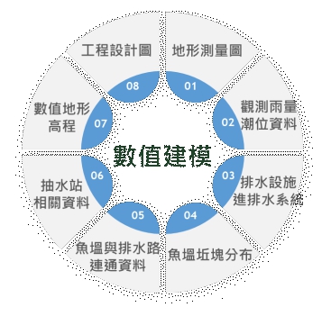
- Water level rise prediction model-numerical modeling work
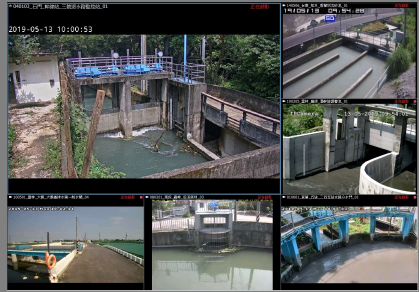
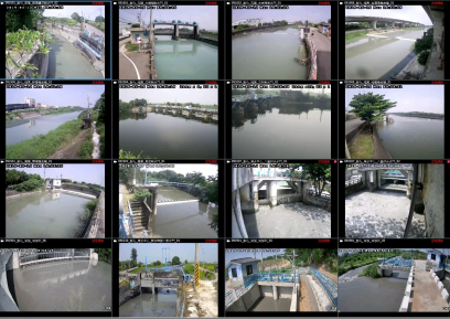
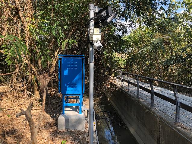
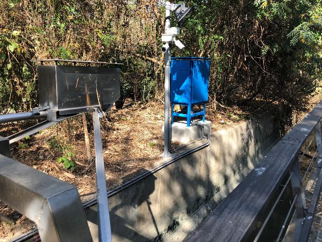
Supervise Hydrological Observation and Automatic Forecasting Efficiency Project of The Irrigation Association
This case establishes a platform of automatic hydrologic forecast system, and integrates video and hydrological information as the basis for big data analysis. And hold a training lecture, site survey and evaluation.
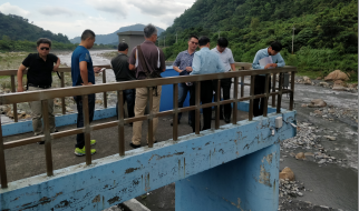
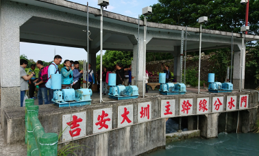
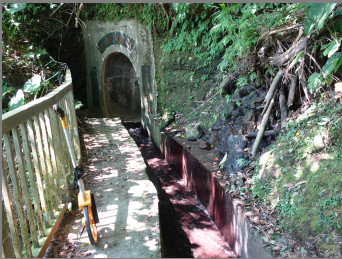
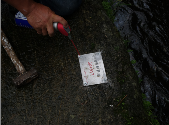
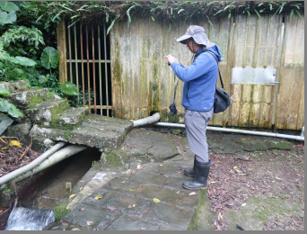
Irrigation District Waterway Survey and Pile Mileage Construction Project
The canal situation of Chi-Sing Irrigation Association is investigated for this project, and pile system is established on every 50 meters. The management personnel can grasp disaster location and establish canal situation database by this pile system. Furthermore, improve disaster flexibility during typhoon and heavy rain and irrigation water allocation efficiency in the dry season.
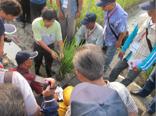
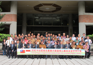
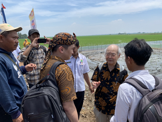
Training Program for Core Farmers in Karawang Comprehensive Agriculture Demonstration Zone, Indonesia
In order to cooperate with New Southbound Policy, our team plan training courses and field visiting, including irrigation, rice, seed inspection, duck, farm organization and so on for farmer from Karawang demo farm, Indonesia to improve agricultural product quality of Demo farm and farmer knowledge.
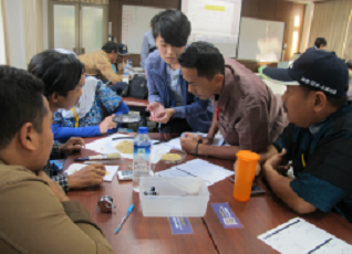
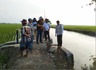
Technical Evaluation Project for New Southbound Policy Export of Farmland Irrigation Technologies
In order to cooperate with New Southbound Policy, team members communicate with hydraulic structures, irrigation management organization system and so on with Indonesia, furthermore, assist in agricultural related industries to expand the market of New Southbound countries.
Analysis and Promotion Project of Farmland Irrigation Natural Disaster Prevention and Rescue
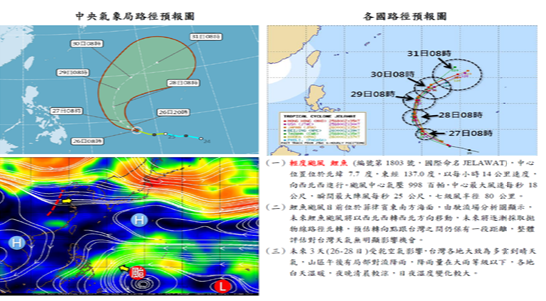
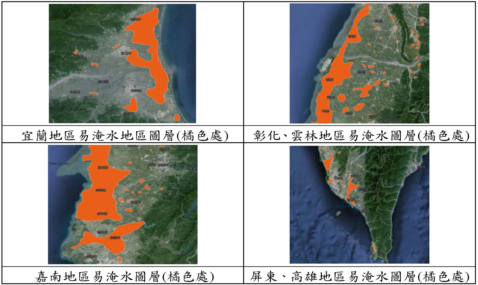
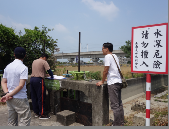
The project established weather forecasting analysis mechanism, implement disaster prevention operations, through disaster prevention strain drills and seminars to improve disaster prevention knowledge and emergency response capabilities for Irrigation Association, and use the Disaster Information Notification System to get the immediate disaster situations when disaster occurs. Additionally, the purpose of the project is to enhance disaster prevention measures and emergency response ability of IA’s and to ensure the people’s lives and property safety, and keep the national land in good repair.

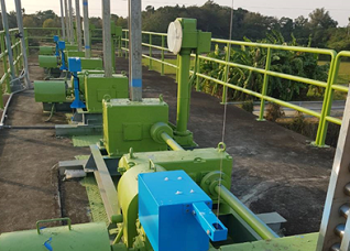
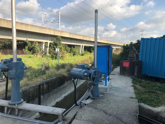
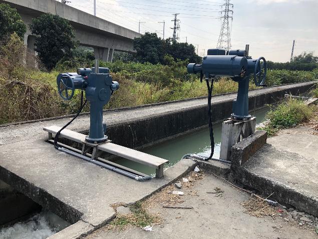
Chianan Main Canal and Branches Automatic Water Level Control and Monitoring System Construction
The project plans to build a gate and water level monitoring system in Chia-Nan irrigation area, fulfilling the purpose of adjusting the irrigation water, which can also be served as an auxiliary tool for water regulation management during drought resistance periods.
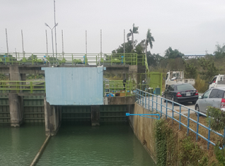
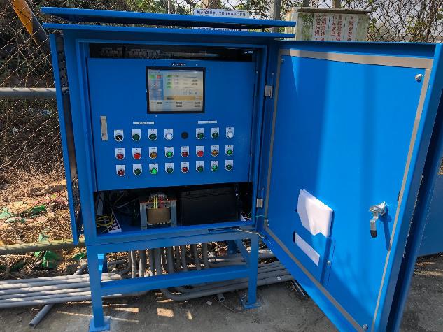
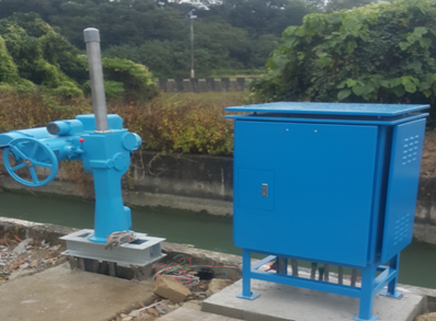
Fuxing Canal Gate Automation System Design and Supervision Technical Service
This project showed how easily data can be published from each sensor is sent to the WRA cloud platform, which power by IoT and AI technologies. Also, irrigation data with application program providing the basement of smart management.
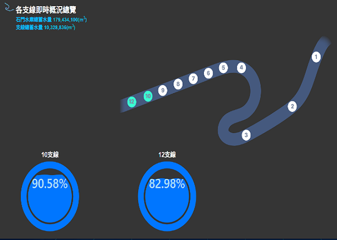
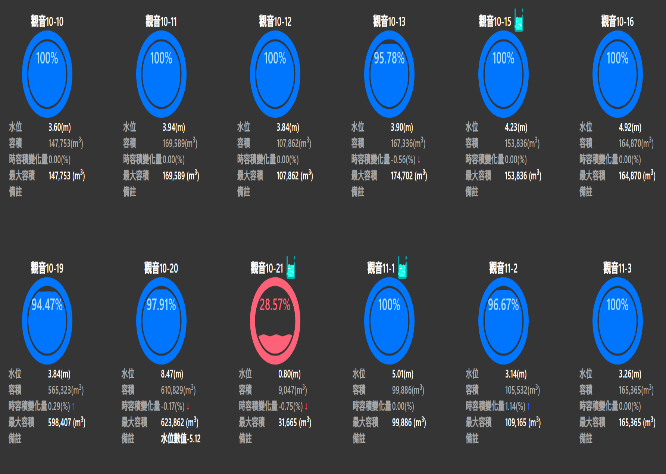
Taoyuan Irrigation Association Reservoir, Waterway Hydrological Monitoring Setup and Dynamic Analysis Management Platform Design and Technical Service Project
The plan is to predict the hydrological information of the farm pond, manage the water storage and transportation, and improve the efficiency of water resources utilization through the big data database and water level forecast from main irrigation canal.
Introduction to This Group
Please see the service content and contact information of this group:Introduction to Information Division
Achievements Over the Years
- Promote computerization of farmland irrigation business
- Development of basic database for ecological and environmental protection of rice fields and development of management system
- Irrigation water pollution monitoring and management system
- Established the map database management system
- Upland irrigation promotion system and maintenance project
- Promoting ecological and environmental protection of paddy fields and replenishment of groundwater - maintenance and technology transfer of irrigation management database of farmland irrigation
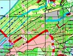
- Construction of irrigation management geographical database and development of GIS System
- Construction of Irrigation Association management information system, agricultural environment basic database construction and application system development
- Farmland irrigation disaster prevention and rescue integration system
- Construction of farmland irrigation reservoir, waterway hydrological monitoring and dynamic analysis platform
- Environmental and ecological management system of national aquaculture and fishery production areas
- 3D community landscape planning platform development with unmanned aerial vehicle
- Farmland irrigation automatic measurement and reporting system and data center system update technical service

Outcome Poster